Archive
Ephemeris: 11/23/2023 – Celestial Navigation in the time of the Mayflower
This is Ephemeris for Thanksgiving Day, Thursday, November 23rd. Today the Sun will be up for 9 hours and 18 minutes, setting at 5:08, and it will rise tomorrow at 7:51. The Moon, 3 days past first quarter, will set at 4:33 tomorrow morning.
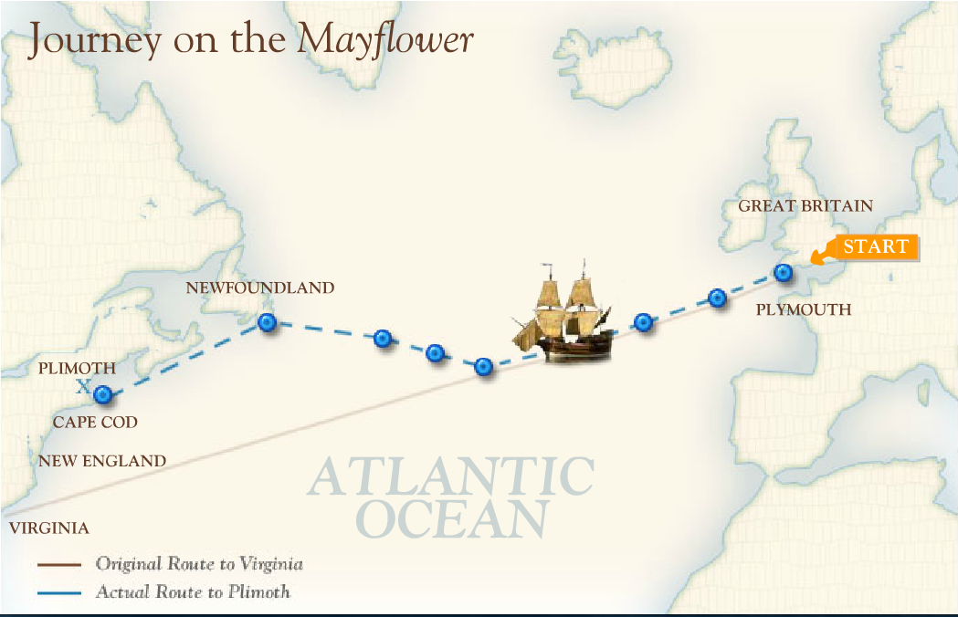
Being Thanksgiving it would be nice take a look at something astronomical about the day. Say celestial navigation in the day of the Mayflower. Back then one could find one’s latitude or position North and South of the equator by sighting the altitude of Sun at noon. Determining noon for one’s position took several sightings. Noon was the time of the highest altitude or angle that the sun was above the horizon. Several sighting would have to be made until one found the time that the sun was highest above the horizon and knowing the day of the year to get the Sun’s declination which is its latitude in the sky to calculate one’s own latitude. Estimating one’s longitude was a much more difficult proposition.
The astronomical event times given are for the Traverse City/Interlochen area of Michigan (EST, UT –5 hours). They may be different for your location.
Addendum
)
