Ephemeris:06/02/2026 – Mapping the Moon for Apollo
This is Ephemeris for Tuesday, June 2nd. Today the Sun will be up for 15 hours and 22 minutes, setting at 9:22, and it will rise tomorrow at 5:59. The Moon, 2 days past full, will rise at 11:54 this evening.
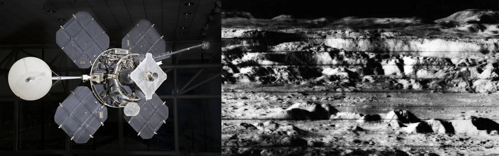
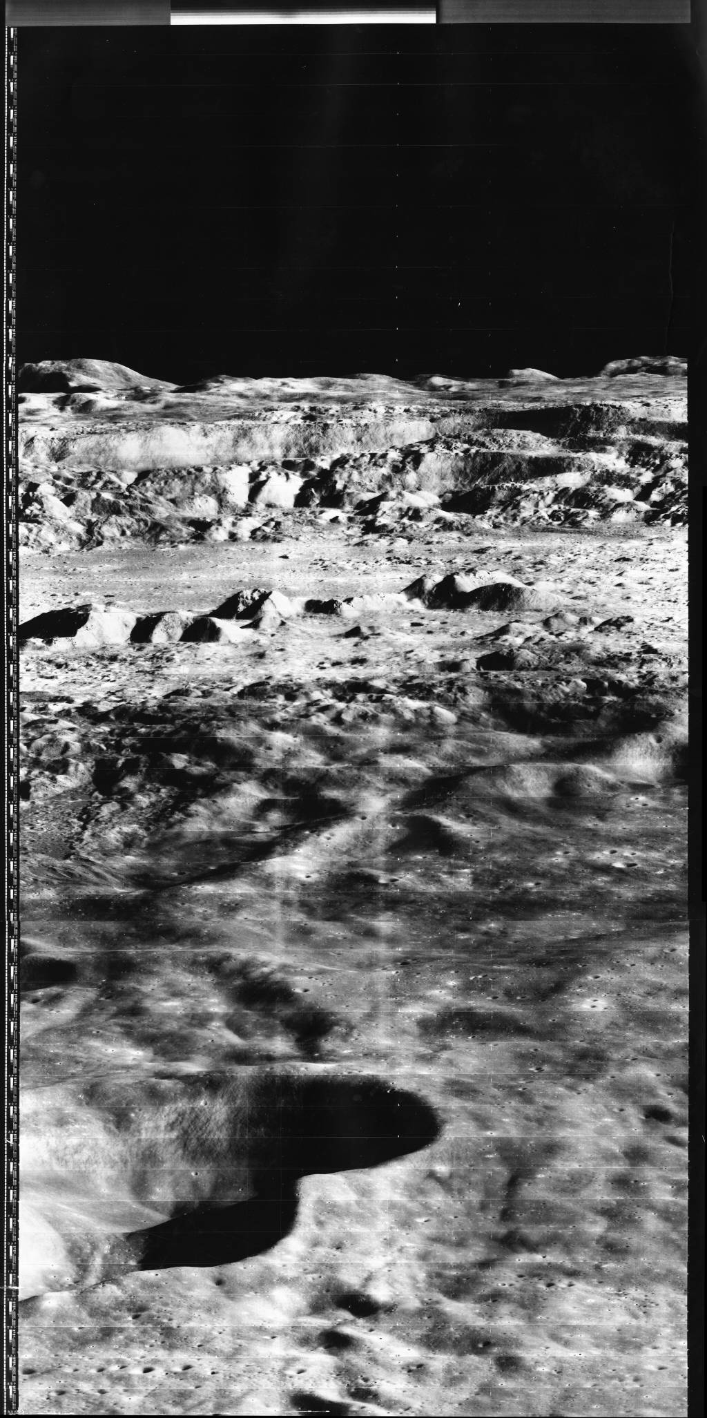
The last unmanned missions to the moon before the Apollo landings was the Lunar Orbiter program. Five spacecraft were sent to the moon to photograph, in great detail, the proposed landing sites for Apollo, and then to map the moon completely. They had 100% coverage of the near side and 95% of the far side. Unmentioned at the time was that the spacecraft used the same camera that was used on the reconnaissance or spy satellites of the era. Five orbiters were launched between 1966 and 1967, and all 5 were able to complete their mission successfully, photographing on film, developing and scanning the images to be radioed back. They then were crashed onto to the moon, so their radio signals would not interfere with Apollo moon communications.
The astronomical event times given in this blog are for the Traverse City/Interlochen area of Michigan (Lat 44.7° N, Long 85.7° W; EDT, UT – 4 hours) unless stated otherwise. Times will be different for other locations.
Addendum